Projects & Products
Genwest’s corporate experience spans 35 years and a wide range of clients; from the energy industry to Federal, State, local and Tribal agencies and organizations. These projects vary from workshop facilitation to oceanographic modeling, and from financial database development to curriculum development. Below is a sampling of highlighted projects demonstrating different elements of our expertise.
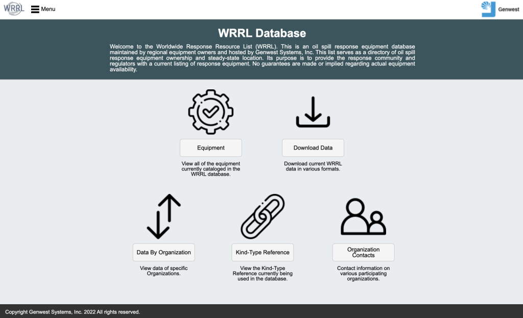
Worldwide Response Resource List (WRRL)
The Worldwide Response Resource List (WRRL) is a free web-based database created by the USCG and response contractors that stores information on various types of oil spill response equipment. The WRRL is hosted by Genwest Systems, and run by a Steering Committee comprised of Federal & State regulators, as well as representatives from OSRO, Industry, and Response Organizations who work together to ensure the WRRL remains a free and useful tool available to the response community.
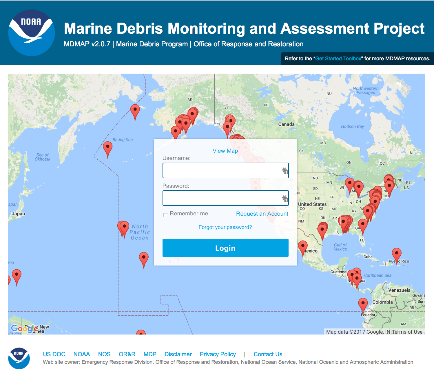
MDMAP homepage display
MDMAP – Marine Debris Monitoring and Assessment Project
The MDMAP is an online database developed to capture, validate, and visualize the results of the Marine Debris Monitoring and Assessment Project. The Genwest team worked with our clients in the NOAA Marine Debris Program to scope, design, develop, and launch this online system in an accelerated agile development timeline based on the rapid spin-up of field marine debris monitoring following the 2011 Tohoku tsunami that struck Japan and introduced over 1.5 million tons of debris to the Pacific Ocean. Genwest staff have continued to support and improve the database based on client direction and needs, increasing functionality and addressing security concerns over time.
Oil Spill Planning Standard Development
Working under contracts with the Bureau of Safety and Environmental Enforcement (BSEE), Genwest reviewed existing oil spill response planning standards and developed new recommended standards and supporting tools. These tools included the Estimated Recovery System Potential (ERSP) Calculator for advancing skimming systems, the EBSP Calculator for in-situ Burning systems, and the EDSP Calculator for Dispersant mission planning.
ERSP Calculator & User Guide
EBSP Calculator & User Guide
EDSP Calculator & User Guide
ReSET Calculator & User Guide
Final Report on Planning Standard Study
DMP2 to EDSP Calculator Comparison
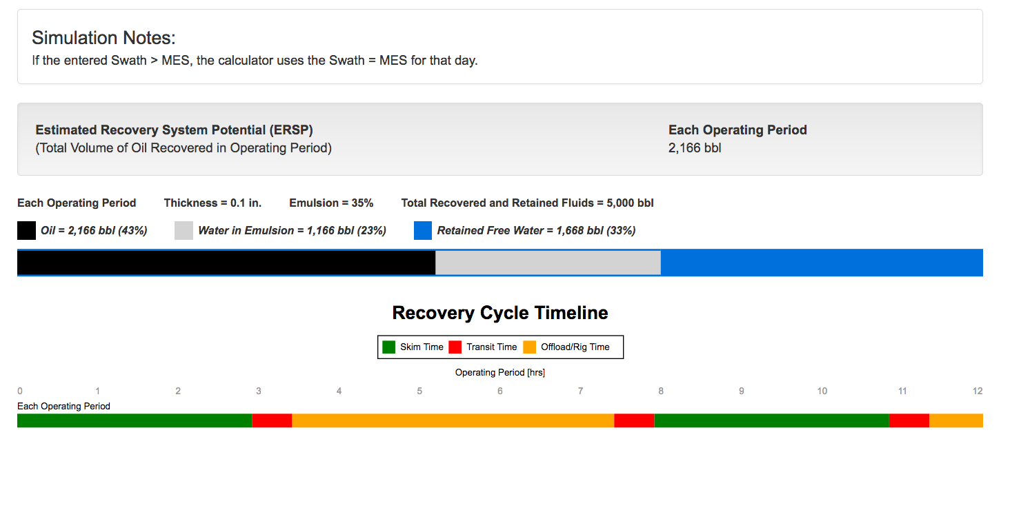
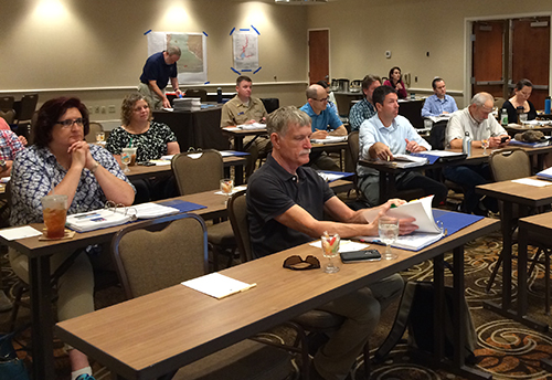
Photo Credit NOAA
ICS Training
Working with Federal, State agencies and industry representatives, Genwest staff played a critical role in the original adaptation of the Incident Command System (ICS) for oil spill response. The resulting familiarity and expertise has enabled Genwest personnel to develop customized ICS training materials (such as the Genwest ICS Manual) and courses that now enjoy an outstanding reputation within the oil spill response community. Genwest’s ICS training is clear, concise, and focused on enabling long-term retention through valuable reference resources.
Sample Genwest ICS Manual Pages – (Download)
This manual is designed for use by oil spill responders who are trained in ICS but for whom response is a collateral duty
ERMA – Environmental Response Management Application
Genwest provided support in the development and deployment of NOAA’s Environmental Response Management Application (ERMA), an open source mapping application which was designated by the US Coast Guard as the vehicle to provide the Common Operational Picture (COP) for the Deepwater Horizon and other incident responses. Since its deployment in 2010, Genwest staff have continued to maintain and update ERMA, as well as provide training in its use.
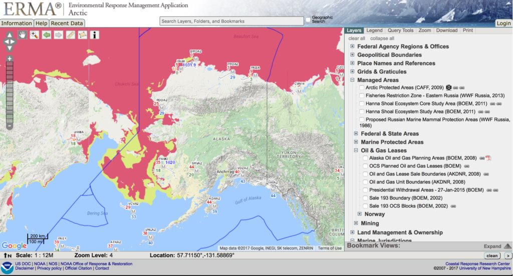
Arctic ERMA display
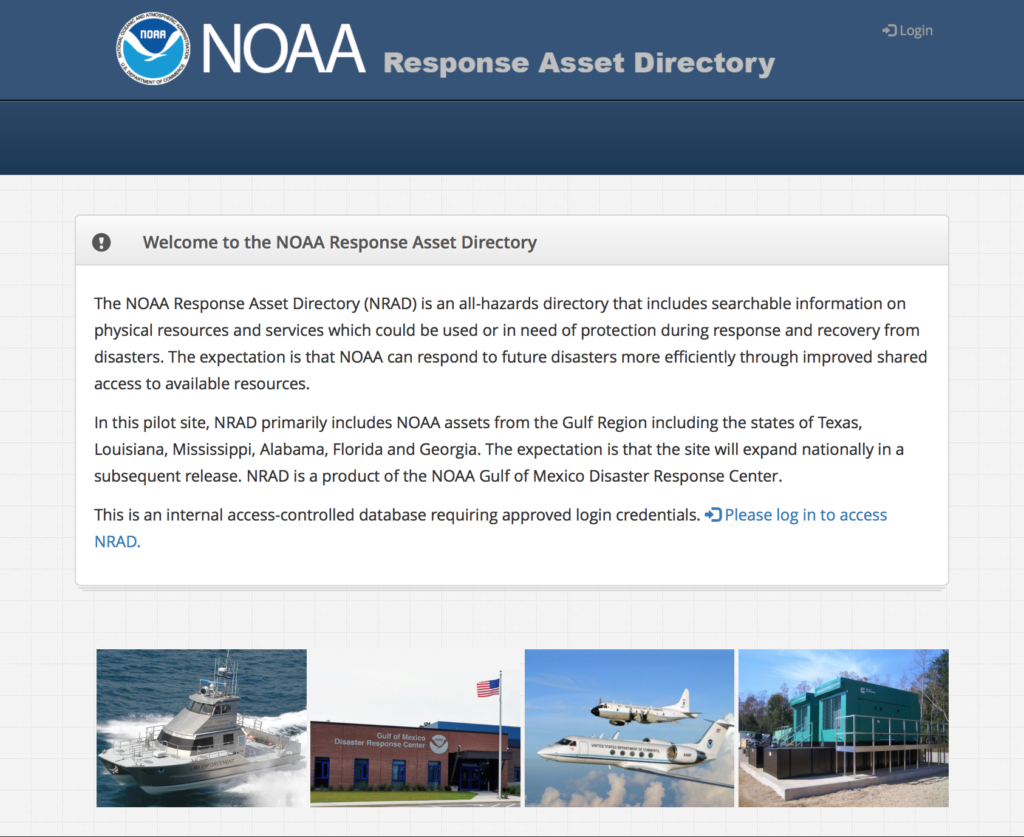
NRAD homepage display
NOAA Response Asset Directory (NRAD)
Under contract with the NOAA Disaster Response Center (DRC) Genwest designed, developed and launched the NOAA Response Asset Directory. NRAD is a web based directory of NOAA assets, which may be impacted by a natural disaster or may be used during emergency response and recovery activities.
Marine Debris Response Planning – NOAA
Natural disasters such as tropical storms, hurricanes, tsunamis, or floods can create significant amounts of marine debris. This debris is highly varied in location, type, composition, and jurisdiction. In support of the NOAA Marine Debris Program, Genwest staff have led the development and roll-out of Regional Emergency Response Guides in the Southeastern United States, with the goal to improve preparedness for, response to, and recovery from these acute marine debris incidents. The Genwest team worked with NOAA staff to scope the goals and design a process to integrate input from stakeholders at the Federal, State and local levels through interviews, surveys, workshops, and structured document review.
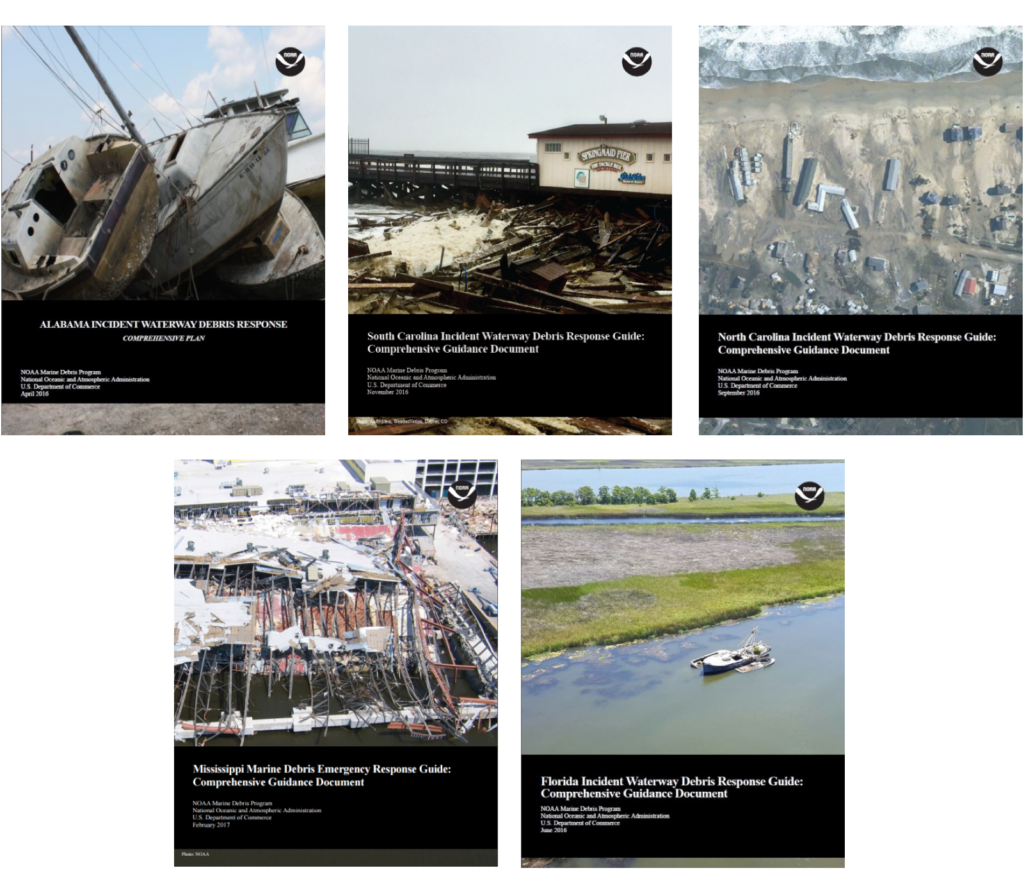
Photo credit to NOAA
GNOME Modeling
The General NOAA Operational Modeling Environment (GNOME™), originally developed by a NOAA group led by Dr. Jerry Galt, now a member of the Genwest team, can be used to:
- Predict how wind, currents, and other processes might move spilled oil on the surface of the water;
- Learn how predicted trajectories are affected by the “uncertainty” of environmental factors; and
- See how spilled oil is predicted to change chemically and physically (“weather”) during the time that it remains on the water surface.
The Genwest team continues to work with the NOAA staff to refine and improve GNOME’s capabilities.
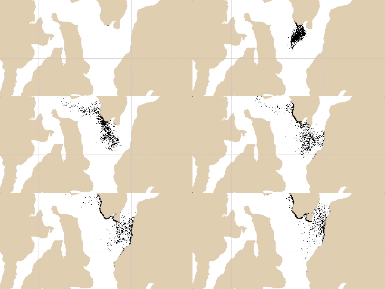
Animation of GNOME output, used to support a recent oil spill exercise
Response Options Calculator (ROC)
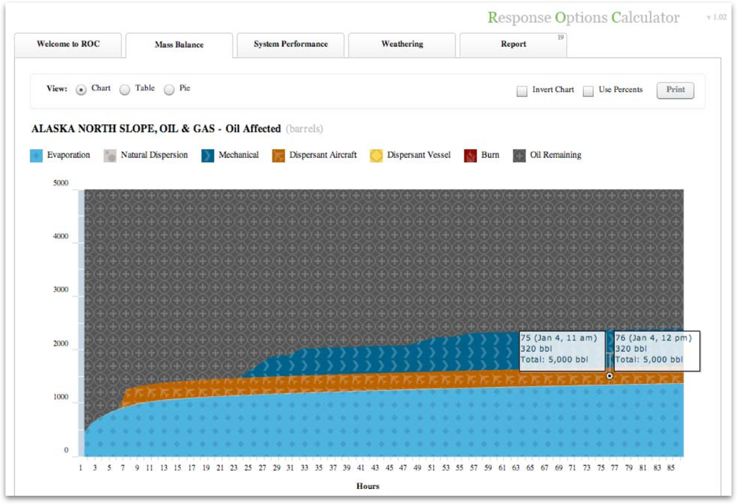
The Genwest Response Options Calculator (ROC).
With funding from the US Department of the Interior, Shell Oil and the American Petroleum Institute, and input from NOAA, USCG and industry personnel, Genwest developed the ROC as a stand-alone web-browser-based tool for oil spill responders and planners. The ROC provided performance estimates of oil spill response systems for the three major marine surface oil spill countermeasures – mechanical recovery using skimmers, dispersant application, and in-situ burning.
The Genwest ROC application was designed and built to run within the Adobe Flash environment which is no longer available or supported by Adobe. Because of this, the ROC is no longer available for download or use as a standalone product.
However, some of the same functionality from the ROC, along with other enhanced marine oil spill response and planning capabilities are available in programs currently available from the U.S. National Oceanic and Atmospheric Administration (NOAA) and the U.S. Bureau of Safety and Environmental Enforcement (BSEE), More information about these available federal planning tools can be found at genwest.com/roc
Technical Publications
“Development of Spreading Algorithms for the ROC” – 2009
“Oil Weathering Technical Documentation and Recommended Use Strategies” – 2011
“Triangular Tessellation Documentation” – 2011
“Triangular Tessellation Documentation Part II – Clustering on Boundaries” – 2015
“Triangle Documentation Part III – Trajectory Model Output Using Shannon Information Theory” – 2017
Contact Genwest
If you’d like more information about how Genwest might be able to assist your organization we’d love to hear from you.
